Silviculture Services
We offer a complete package of Silviculture Services
WHAT WE OFFER
Ecological Surveying Solutions
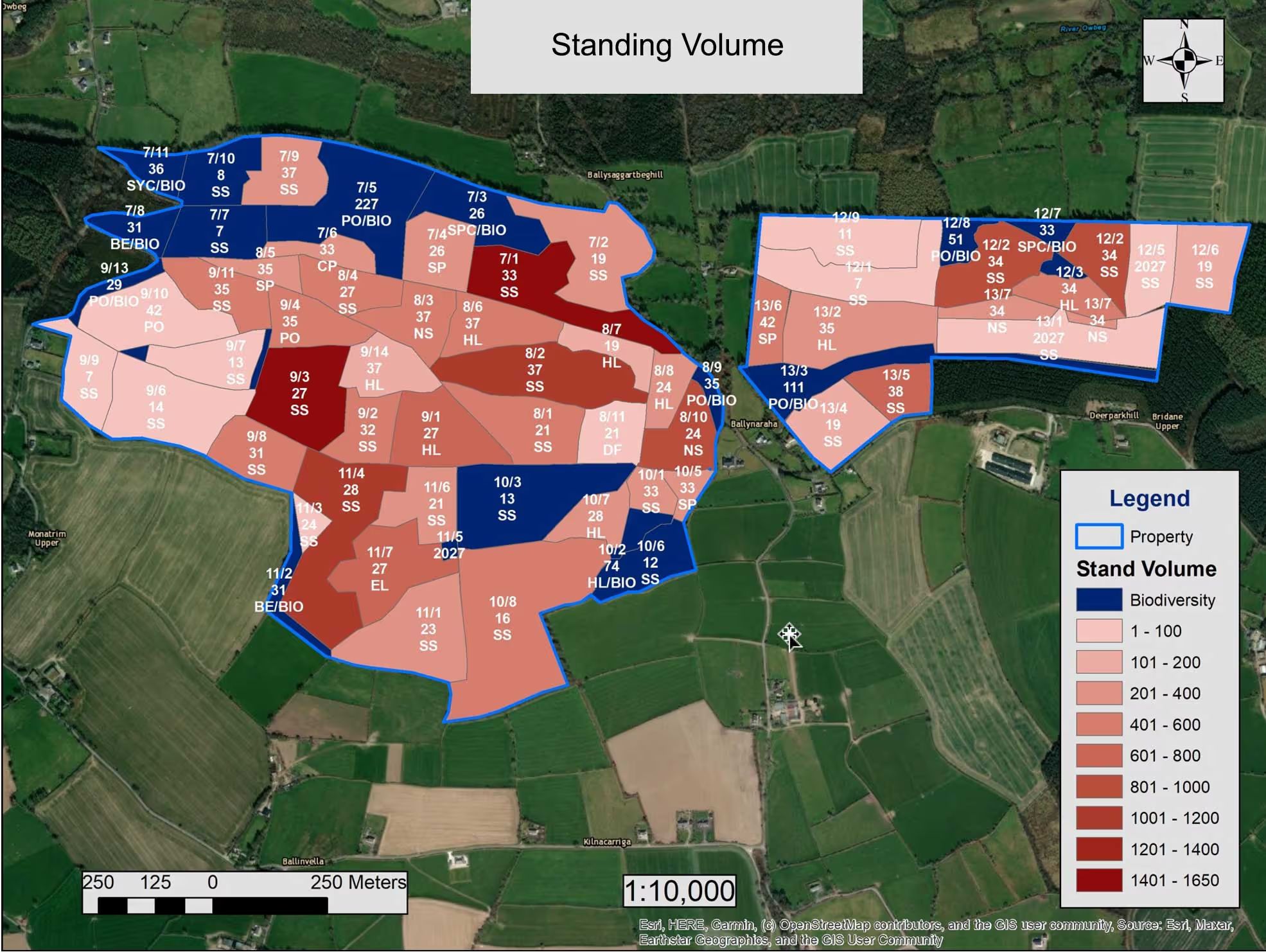
We work with Murphy Geospatial to provide comprehensive Ecological Surveys tailored to our client’s needs. Murphy Geospatial has established itself as a leading provider of ecological surveying solutions within our natural and biological environment. Our surveying technologies and ecological expertise allow us to accurately capture geospatial and ecological data to make presentations via visual maps, both 2D and 3D interactive mapping models such as GIS and CAD.
A better understanding of our natural environment fed by geospatial data enables us to predict its future behaviour, allowing us to limit the impacts of flooding, coastal erosion and for restoration. Verified geospatial data is key to understanding these complex systems. Data-driven decision making will help us preserve the natural environment and live more sustainably.
Ecological Surveying Solutions Services include:
Habitat classification & mapping
Invasive alien plant species surveying & monitoring
Badger surveying & monitoring
Marsh Fritillary surveying & monitoring

Habitat classification & mapping
Habitat classification is crucial for planning any significant development. It enables environmental impact assessments on vital habitats.
Murphy Geospatial utilises resources like OSI historical maps and updated 1:20,000 maps to pre-assess survey areas. Our in-house Aerial Survey team enhances this with high-resolution orthophoto mapping and open data sources on species distribution. After initial desk studies, we conduct high-accuracy field surveys to validate habitat distribution. This data helps evaluate conservation value, status, and habitat integrity. Our habitat classification surveys combine geospatial data capture and ecology expertise, delivering highly accurate, visually intuitive results.
Invasive alien plant species surveying & monitoring
Invasive alien plant species are widespread across Ireland. Murphy Geospatial precisely identifies, quantifies, and digitally maps the distribution, location, and density of various high and medium impact plant species, including:
By establishing a baseline of survey data, you can estimate costs and resources needed to tackle invasive species within area or region of infestation.
Following the initial clearance, we can support with monitoring surveys to reduce the risk of further invasion.


Badger surveying & monitoring
Badgers and their setts are protected under the Wildlife Acts in Ireland. An Environmental Impact Assessment Report (EIAR) is required for any development near setts. All field surveys must be carried out by experienced ecologists and have regard for relevant guidance including, but not limited to:
National Road Authority’s (NRA) Ecological surveying techniques for protected flora and fauna during the planning of National Road Schemes (NRA, 2009) and Surveying Badgers. An Occasional Publication of the Mammal Society (Harris et al., 1989).
Badger setts are assessed on activity, entrances, and physical characteristics, classifying them as main, annex, subsidiary, or outlier, and usage as well-used, partially used, or inactive.
We geospatially locate and classify badger setts, providing detailed reports to protect these features from development disturbances.
Marsh Fritillary surveying & monitoring
The Marsh Fritillary (Euphydras aurinia) is Ireland’s only legally protected butterfly, safeguarded under Annex II of the EU Habitats Directive, the Bern Convention, and the Wildlife Act 1976, as amended. Classified as ‘Vulnerable’ on the Red List of Irish Butterflies, it faces a high risk of extinction.
Colonies inhabit various environments, such as sand dunes, grasslands, fens, bogs, and upland heaths, relying on Devil’s-bit Scabious (Succisa pratensis) and extensive grazing to maintain their habitats.
Murphy Geospatial conducts surveys following best practices like the NRA’s ecological surveying techniques and the NBDC’s methodologies. These surveys, often needed when suitable habitats or local records exist, assess habitat conditions and track adult and larval populations. Surveys take place in May/June for adults and August/September for larvae, focusing on counting larval webs and evaluating vegetation conditions to ensure effective conservation.


We Make Things Sustainable
We work alongside you to preserve the natural environment, monitoring changes and making recommendations whilst delivering on your projects.
We get the facts
Providing a baseline of data about the natural world is importantfor safeguarding biodiversity and promoting sustainable development.
We get it right
We help you ensure compliance with all relevant regulations related to ecological concerns.
GIS Accurate Data Collection
GEOTREE Ltd delivers accurate, science-based tree data supported by comprehensive maps, created by a qualified and experienced cartographer.
Field data is collected using state-of-the-art GNSS equipment with centimetre-level accuracy, then organised and presented as comprehensive, accurate maps through Geographic Information System (GIS) technology, available in both digital and hard copy formats.
GIS methodology organises and categorises data into intuitive 'layers,' providing a clear and client-friendly way to present complex information.


This approach supports effective tree management and planning processes. Key benefits include:
Categorisation of Data:
Layers can separate information such as species type, age, and condition, making it easy to interpret.Enhanced Visualisation:
Management strategies and priorities are illustrated through layered maps, offering a clear understanding of on-the-ground conditions and proposed methodologies.Integration Capabilities:
Data can be merged into topographical surveys and architectural drawings, supporting planning applications and the development of comprehensive management plans.
